Inventory of Spatial and Location-Aware Applications Featured in 24

Posted: May 6th, 2007 | 1 Comment »

Thierry Joliveau has performed a very detailed inventory of the spatial and location-aware applications featured in the TV Serie 24. In Essai d’inventaire des techniques géonumériques dans 24 heures chrono lists the techniques and devices used. I intended to categorize them as (screenshots courtesy of Thierry Joliveau):

Data capture and visualization
GSM positioning, GPS enabled pedestrian navigation system, GPS enabled car navigation system, RFID positioning, car plate detection by highway CCTV, remote tracking of a GPS enabled cellphone, locate a building with thermal scanner, tracking a helicopter fleet, suspect tracking with bank transactions
 2007 02 Bauersig1  2007 03 S41516B  2007 03 S42021C
Mobile use
Download of a map onto a PDA, download of a satellite image onto a PDA, download of a map onto a cellphone, transfer of coordinated onto a PDA, transfer of spatial data onto a TabletPC
 2007 02 Bauerpda6  2007 03 S40203

Geodata analysis
Real-time observation of satellite images, spatial analysis to locate a cellphone, visualization by satellite with infrared sensor
 2007 02 Bauerpda3  2007 03 S42401  2007 03 S41920B

Interestingly some scenes feature the limitations of the technologies (here it takes time for a GPS to get a fix).
 2007 02 Bauerrid4

Relation to my thesis: Beyond arguing if these examples are technically feasible, I am interested to see how the types of location information and visualizations the characters of 24 Hours use to get a sense of space in an unknown (unfriendly) environment. Most of the spatial coordination seems to happen over a cellphone with somebody in a control room feeding the dispatched agents.

In a foresight approach, a more detailed analysis could lead to a reflection on our visions of location-aware systems and what leads us to these visions. Frédéric Kaplan performed this type of extended analysis of the visions of the past to understand the future in Futurs 2.0 : La société transparente, utopie du 21e siècle ?

Back to BCN from SFO

Posted: May 5th, 2007 | No Comments »

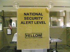
fear bubble

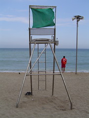
Green flag


CHI Workshop on Mobile Spatial Interaction

Posted: May 5th, 2007 | No Comments »

I could not attend the CHI workshop on Mobile Spatial Interaction, but luckily I bumped into the (co-)organizer Peter Fröhlich, as well as participants Will Seager and Zach Toups whos work closely relate to mine.

Will Seager, and Danae Stanton Fraser, User responses to GPS positioning information on a digital map
This paper contributes to demonstrate the need of transparent position carrying the notion of uncertainty in the data. The field study involving a pedestrian navigation task, positioning information supplied by GPS seemed too inaccurate to be useful. Worst still, the inaccuracy could confuse users, especially since the position icons used in commercial products typically give no indication of the degree of uncertainty. One solution to the issue of uncertainty would be to convey the level of certainty to user. If the GPS unit provides sufficient information to estimate the level of inaccuracy, this could be reflected in the position icon e.g. a transparent position icon that grows or shrinks depending on the level of accuracy.

Zachary O. Toups, and Andruid Kerne, Location-Aware Augmented Reality Gaming for Emergency Response Education: Concepts and Development
This paper presents the location-aware game Rogue Signals, deployed to enhance the team coordination skills of participants. The authors relied on an ethnography of fire emergency response practice to inform the design of the game. The study revealed design implications based on building coordinations skills such as leveraging information differential, mixed communication modalities, and utilizing audible clues.

Apparently, I missed Morten Fjeld who presented 3DVN: A Mixed Reality Platform for Mobile Navigation Assistance.